Seitenpfad:
Weblog3
Weblog 3
29-31 October 2009
MERIAN expedition MSM13_3
Work aboard
From Thursday to Saturday we completed two more short dives for our colonization experiments, and while the ROV team spent some time with repairs due to a power failure of the ROV, we also carried out the first online heat flux measurements and video-guided seafloor coring. This is enabled by the glass fiber cable of RV Maria S. Merian, which now works very well after some first worries to the system operators on board, who had to deal with new cable plugs and some leaks in the system.
First, we carried out a transect measuring the temperature gradient of the seafloor. Generally, the deeper the sediments, the warmer they get. But in our chemosynthetic ecosystems, this temperature gradient is 10-100 fold higher than in the surrounding, indicating that fluids and muds rise from great subsurface depths to the seafloor, carrying the chemical energy that is used by microorganisms for biomass production. Of course, many animals are adapted to use the elevated energy flow in chemosynthetic ecosystems. That is why we are seeing so much diverse life associated with these hot spots in the deep Mediterranean Sea. During this cruise, we want to find out if the distribution of habitats and seafloor communities is related to the heat flux patterns, hence, we first map the temperatures of the seabed, then we explore the surface patterns by visual means and by sampling for biogeochemical analyses. The IfM GEOMAR team on board has a high expertise for this type of work, and the beauty of their tool is that the data are almost immediately available after the recovery.
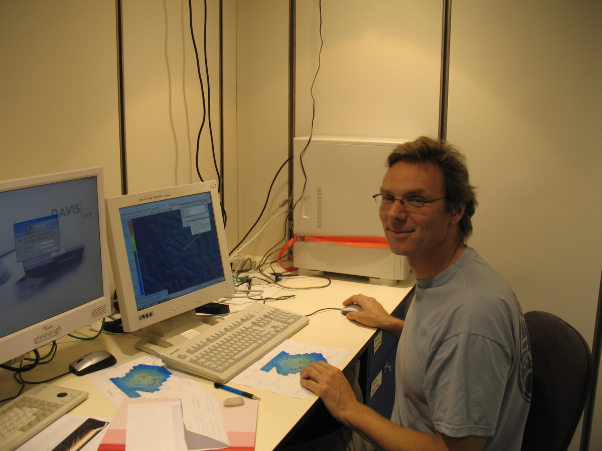
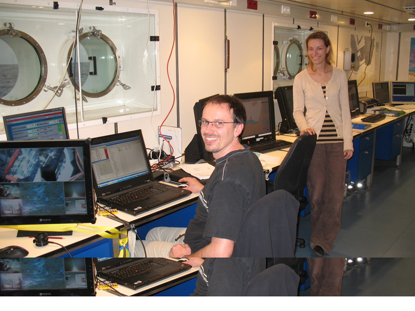
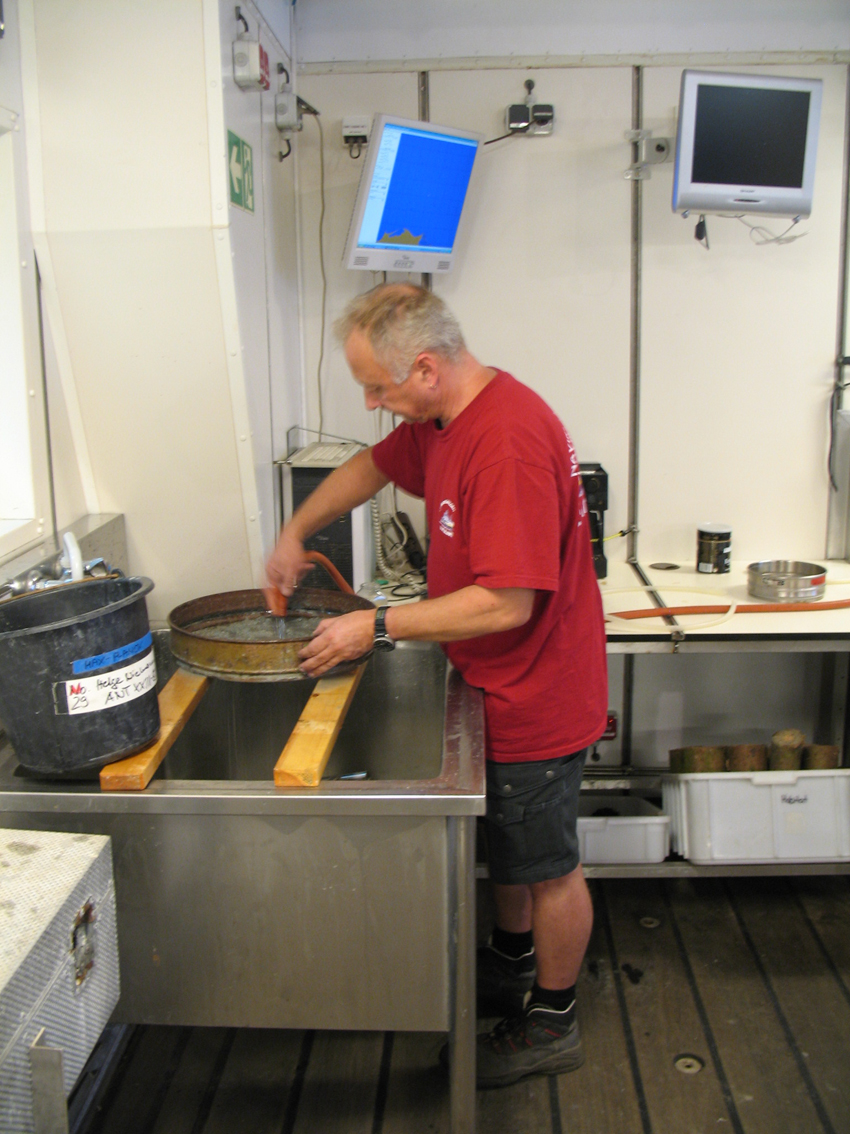
Paul Wintersteller and Miriam Römer, also belonging to the MARUM mapping team. (Source: Christina Bienhold)
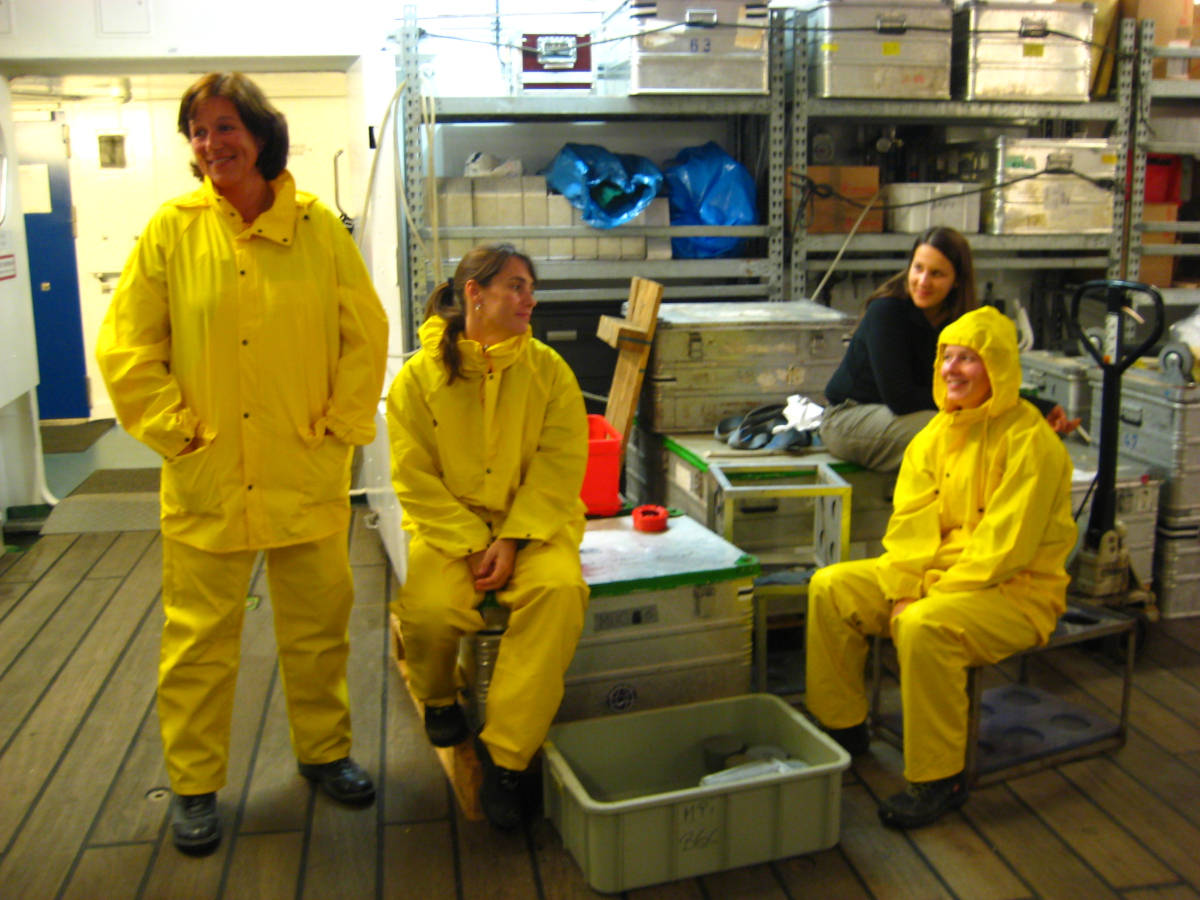
Gabi Schüssler, Viola Beier, Petra Pop Ristova, Christina Bienhold (from left to right) waiting for the multiple corer. (Source: Miriam Römer).
One condition for this work is the precise positioning at the seafloor. Whether we measure the area and distribution of habitats, or sample representative seafloor regions, or deploy and relocate analytical instruments, we need to know exactly where we are. This is not easily realized 1000m below the sea – but today, advanced positioning tools and special computer programs help to allow a precision of ca. ±10 m. This is about as far as we can see under water with the light setting of the ROV. It may sound strange, but you can easily get lost searching a marker or an instrument when you don’t have precise coordinates. This can ruin an entire dive, just imaging that you have 8 hours sampling time, and 90% thereof you would spend finding that one bacterial mat you had visited three years ago and need to core again. So during the dives, and with all winch-operated instruments we take great care to geo-reference them carefully. Basically, nothing is done without a time stamp and longitude/latitude note.
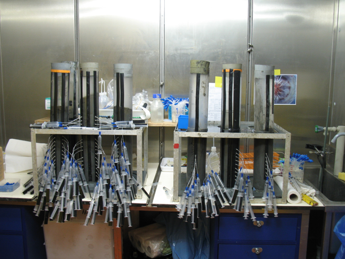
Even with the video-guided multicorer, equipped with a transponder for positioning, we can now place the corer precisely on a 3x3 m spot at the seafloor. This time we targeted some smelly muds, carrying the signature of high microbial activity. Our mud gang was getting challenged not only by the fluid mud, but also by heavy rain and thunderstorms, which came up unexpectedly. A third task on board is the habitat mapping using geophysical means. We need precise maps of the area, and especially of the origin of fluids and muds at the seabed, and this work is the main task of the MARUM team on board.
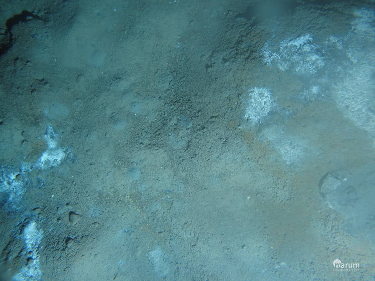
Another major advance that we explored during the first few dives is the new downward looking camera of ROV QUEST. Underwater photography is a real art, not only because it is really difficult to get the right camera settings, light conditions, and objects altogether in one place. Those scientists who spend a lot of time diving with submersibles learn how much you can read from a seafloor surface and its many patterns. But very little thereof is documented, because it is technically difficult to get well-referenced, high quality photos. With the new camera, we can focus closely onto the seafloor, and basically look into the worm burrows which are littering the seafloor. And so we have learned it is not a worm but a large shrimp engineering the mud habitat to an extensive system of mound dwellings. Also, we can compare the different macro-features specific for different types of large sulfur oxidizing bacteria. For example, looking at the type of bacterial mat covering the sulfidic muds of our second working area, we can already tell and document that it is dominated by Beggiatoa-related bacteria, simply because the cell filaments form specific patterns on the seafloor.
We also use camera documentation to assess the abundance of trash on the seafloor. This is a specific contribution to the EU HERMIONE project, which looks at issues of human interaction with the deep sea floor. In the Mediterranean, which is one of the most important sea traffic areas worldwide since humans went to sea, there is basically one plastic bag or soda can to be found every 100m, in some areas much more. While much deep-sea life can adapt to life in wood as a foreign “allochtonous” substrate, no organism adapts to plastic, and it will remain forever in the sea.
So currently, the ROV comes up again from a 11 hour dive, this time without any technical problem, and we are already looking forward to the next dives in the second working area.
Antje Boetius

